
File:WorldDuneMap.jpg
From MarineSpecies Introduced Traits Wiki
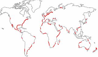
Size of this preview: 800 × 464 pixels. Other resolutions: 320 × 186 pixels | 1,939 × 1,125 pixels.
Original file (1,939 × 1,125 pixels, file size: 169 KB, MIME type: image/jpeg)
Summary
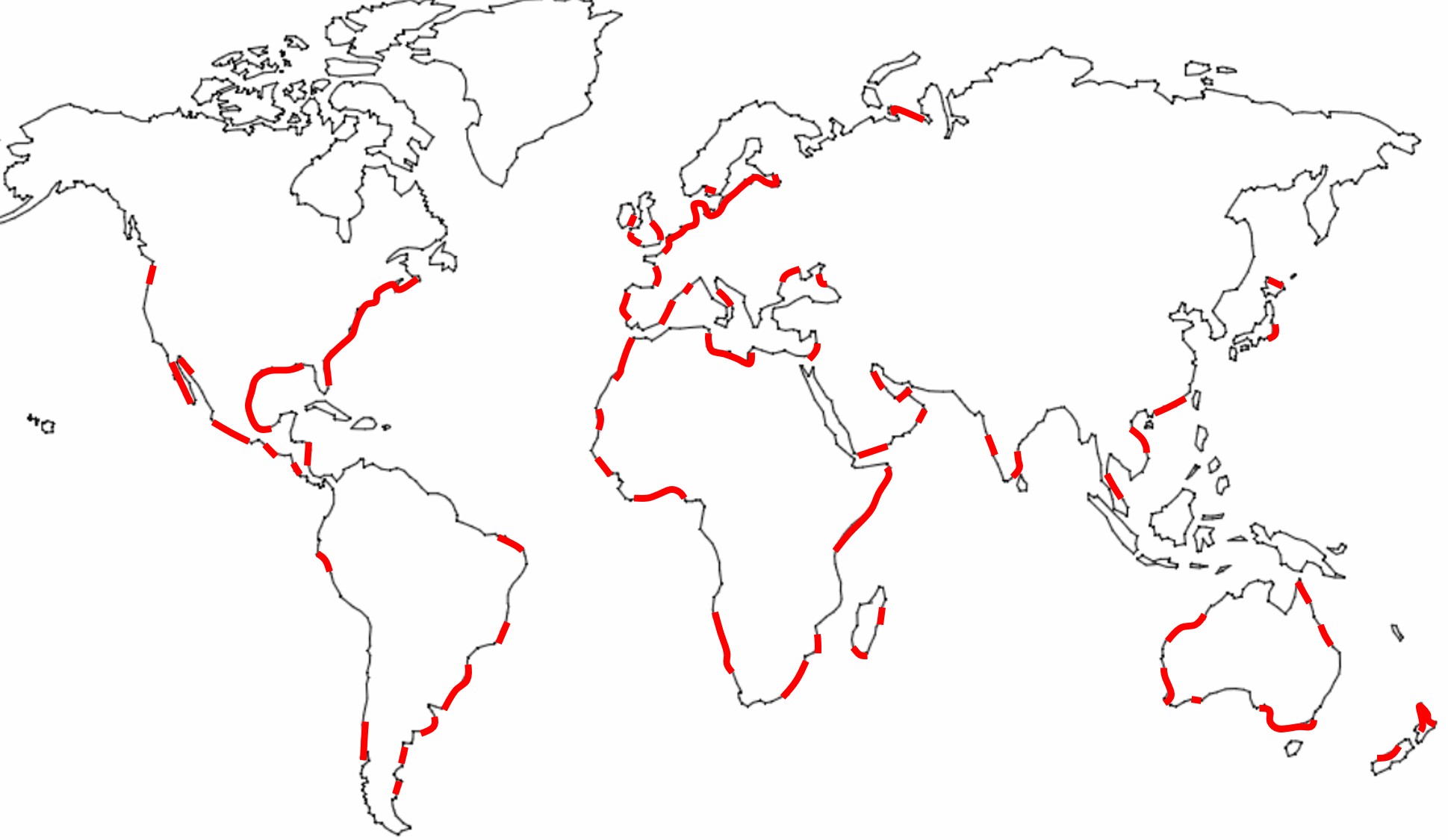
World map of coastal zones where well-developed coastal dune belts occur. Adapted from Martinez and Psuty (2008)
File history
Click on a date/time to view the file as it appeared at that time.
| Date/Time | Thumbnail | Dimensions | User | Comment | |
|---|---|---|---|---|---|
| current | 15:05, 30 August 2021 | | 1,939 × 1,125 (169 KB) | Dronkers J (talk | contribs) | World map of coastal zones where well-developed coastal dune belts occur. Adapted from Martinez and Psuty (2008) |
- You cannot overwrite this file.
File usage
The following page links to this file:
